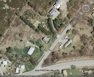
This photograph was downloaded from Google
Earth in 2007. The school building is in the center of the picture. Route
17 is spread across the bottom of the picture. The school building is on
Pushaw road.
The information at the bottom of the picture reads: Pointer 44° 12'57.13"
N 69° 10'59.04"W elev 441 ft.