School District Number #3 - Mansfield
(Closed in 1912)
44° 15.478' N 69°
11.247' W

Morey Hill is seen on the left. Compare the
skyline seen in the second photo below.
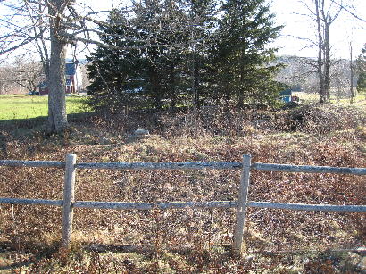 Ruins. Pictures taken November
2008
Ruins. Pictures taken November
2008
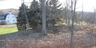
This photo was taken to the left of where
the original photographer stood to show Morey Hill on the left. It is blocked
by the trees if one stands where the original photo was taken.
return